
Rothbury Riverside - Northumberland Walk
Sunday 21st April 2024
The forecast for our week in Rothbury wasn't great, plenty of rain and not a lot of warm weather. Tuesday was forecast as one of the best days of the week with today being dry in the morning then rain setting in during the afternoon. Given that tomorrow was also going to be a potential washout we opted for a shorter local walk today that we could do from the cottage whilst it was dry.
Start: Whitton (NU 0586 0108)
Route: Whitton - Hillhead Road - Whitton Hillhead - Newtown - River Coquet - Rothbury - Whitton
Distance: 5 miles Ascent: 174 metres Time Taken: 2 hrs 10 mins
Terrain: Good paths
Weather: Dry, cold and overcast.
Pub Visited: Queens Head Hotel, Rothbury Ale Drunk: Alnwick Brewery, Alnwick IPA
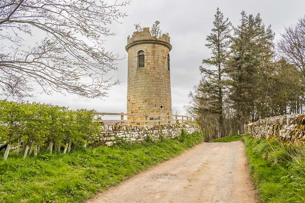
The lane just outside our cottage takes us next to Sharpe's Folly, which is a few yards up from the cottage. It is believed to have been built around 1720 by the local rector Archdeacon Sharpe in order to help alleviate the local unemployment and to assist the rector indulge in his passion for astronomy.
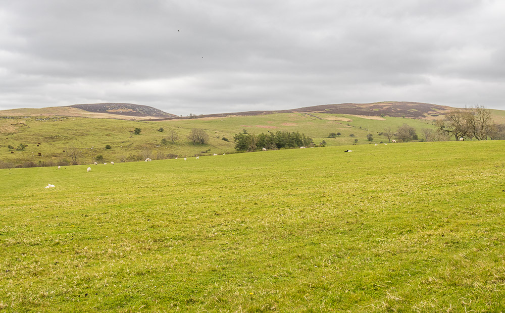
Another sight we are becoming more familiar with is Garleigh Moor and Birky Hill, which are also visible from the cottage.
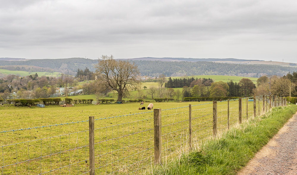
Looking back across to Rothbury Terraces, where we walked last year.
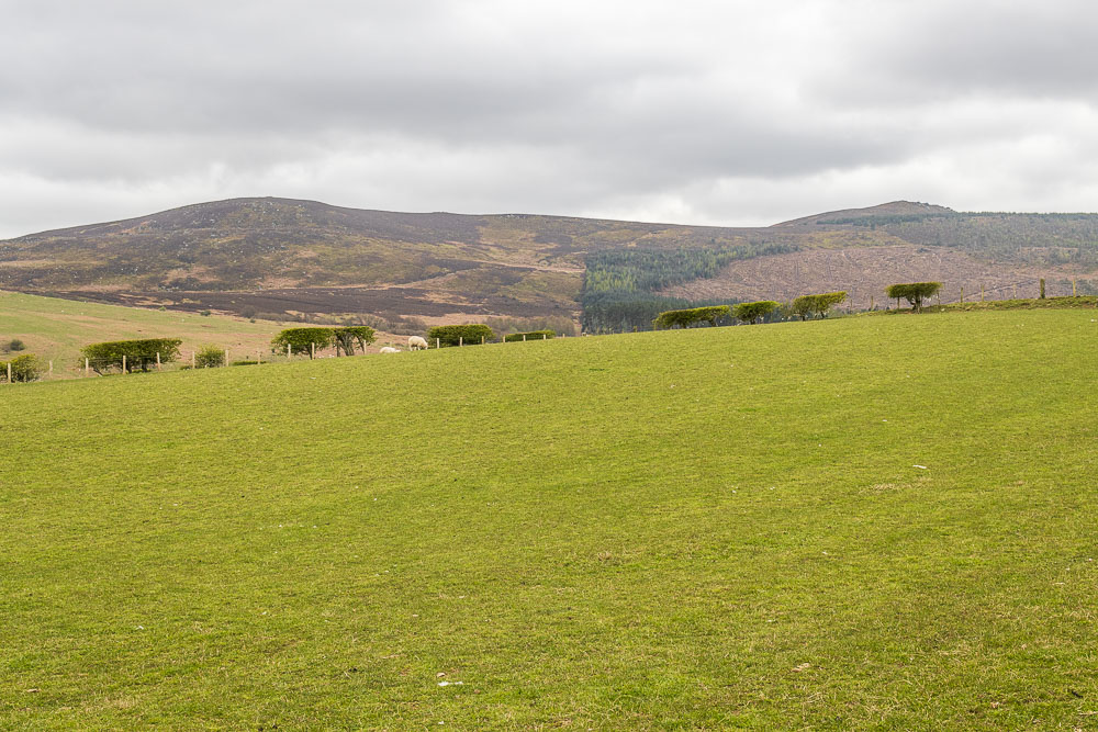
Ahead of us the Simonside Hills dominate the view as we walk along Hillhead Road.
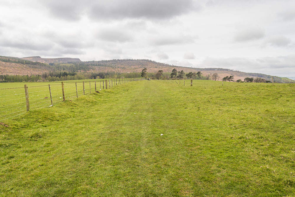
We only pass one couple along the lane but once we have passed the farm at Whitton Hillhead we meet lots of people going in the opposite direction to us. The route is quite popular, but most people do it in the opposite direction because they start in Rothbury and walk downhill at the end. We will have a steep climb to do at the end of our walk.
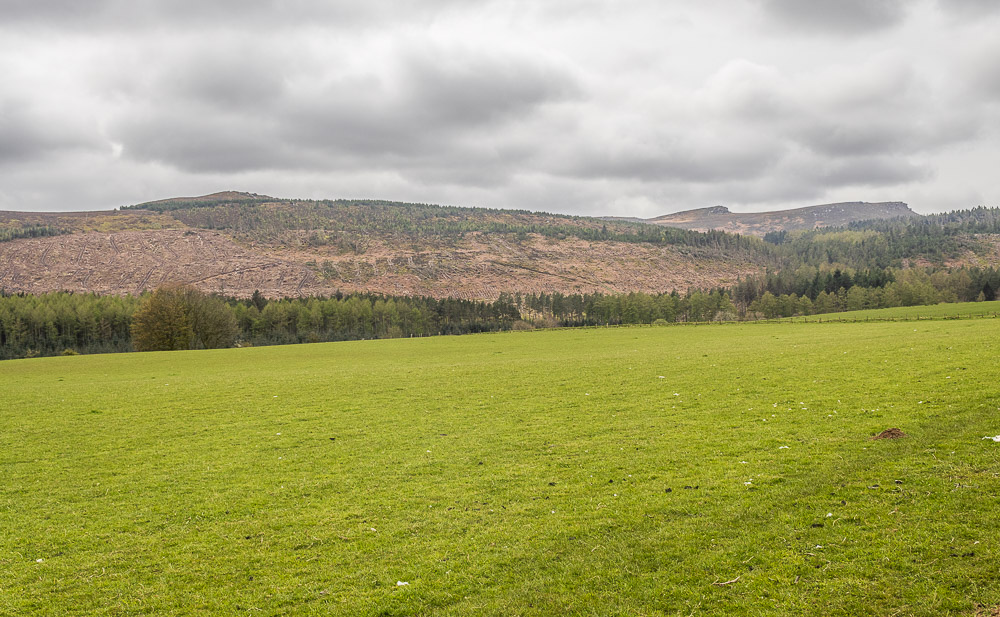
When we took a stroll this way last year the hillside was covered in all the trees that had fallen during Storm Arwen in November 2021. It looks like they have all been cleared up now and we can work out some of the tracks we will follow when we, eventually, do a walk up there.

Looking along Coquetdale we can see that the promised showers are already hitting The Cheviots, hopefully they will miss us.
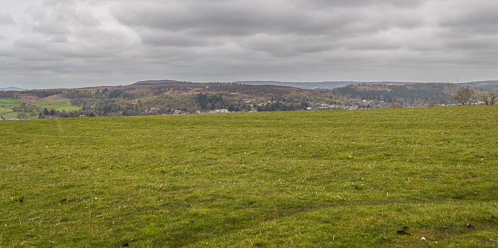
Looking across at Rothbury Terraces we can make out Cartington Hill behind them.
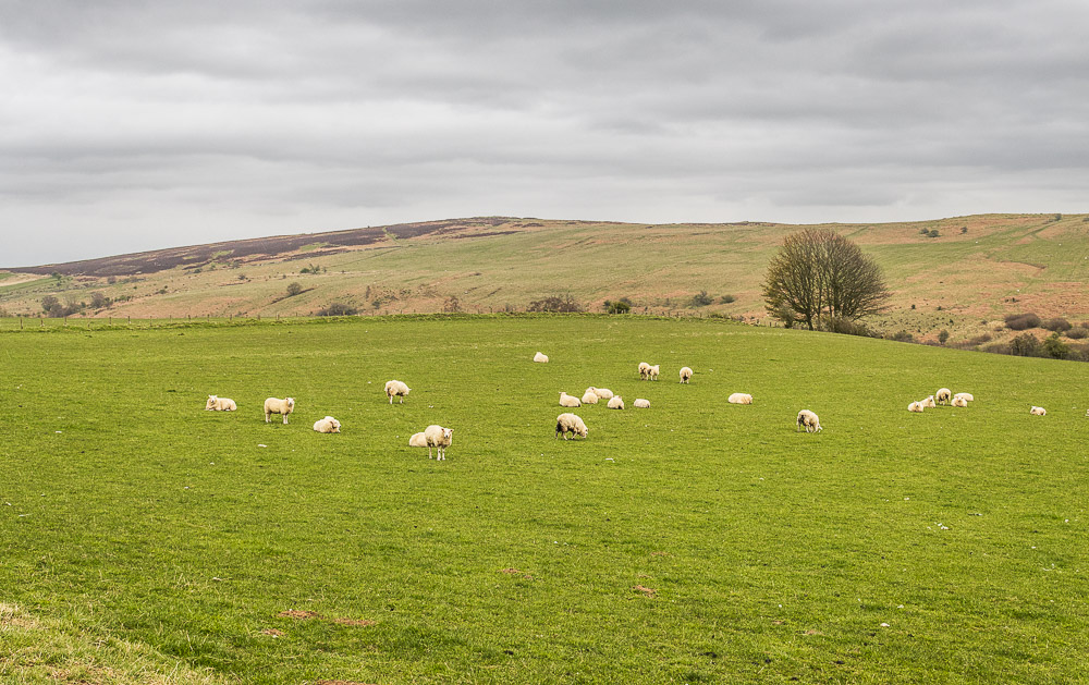
Across the fields we can make out the path to Garleigh Moor. As we will discover later in the week this path doesn't take you to the summit of Garleigh Moor it takes you up to the remains of the fort on Birky Hill.
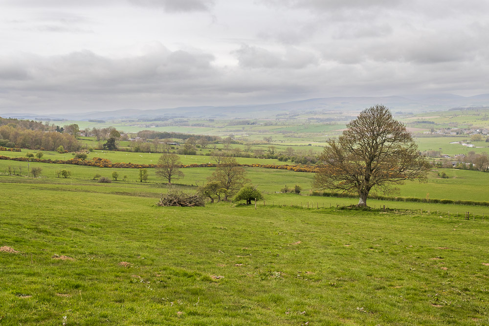
Our route now takes us downhill, where we pass several groups out training for their Duke of Edinburgh awards. We have just exchanged a few words with the adults who are waiting at the top of the hill to check they are all safe. Some of them must have gone very slowly as we passed them again as we were heading uphill to the cottage after having a drink in the pub.
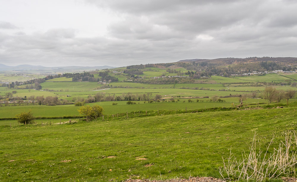
Below us we can now make out the River Coquet, which we will be walking alongside soon.
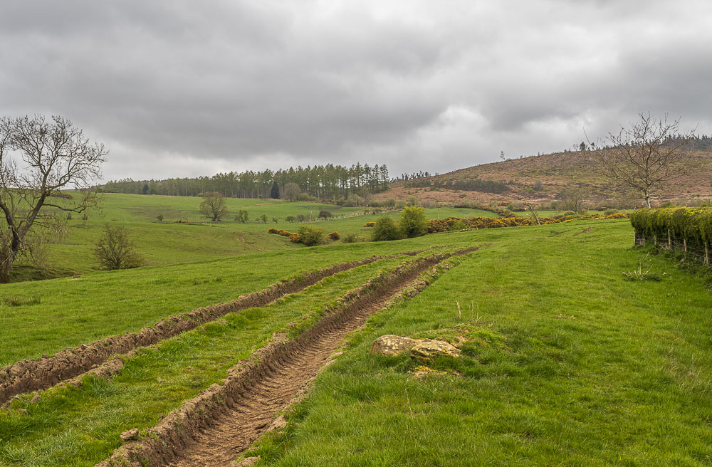
The route across the fields is well signed and we soon find ourselves approching the small hamlet of Newtown just as a shower hits us.
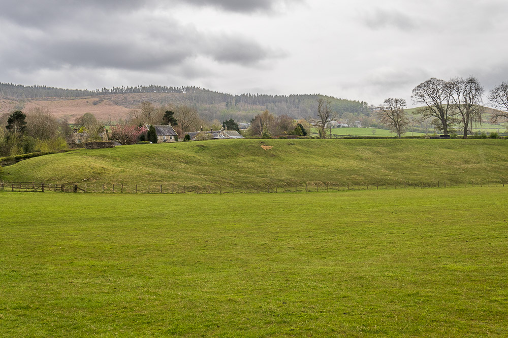
Looking back to the hamlet of Newtown after the shower has passed by.
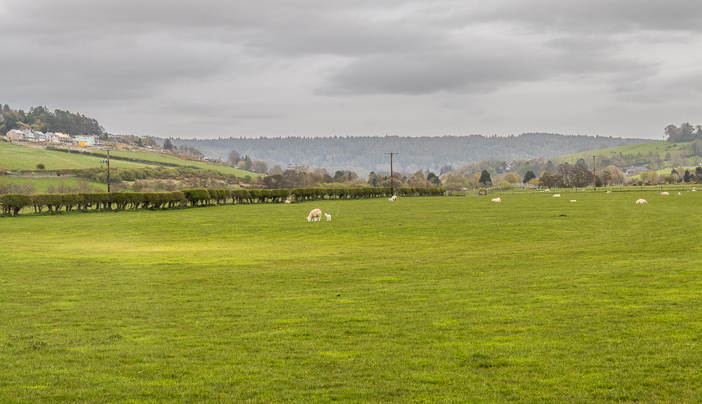
As we have been heading downhill the one thing that has been quite noticeable is all the building work going on around Rothbury. It has certainly grown in size since I was a regular visitor to the area.
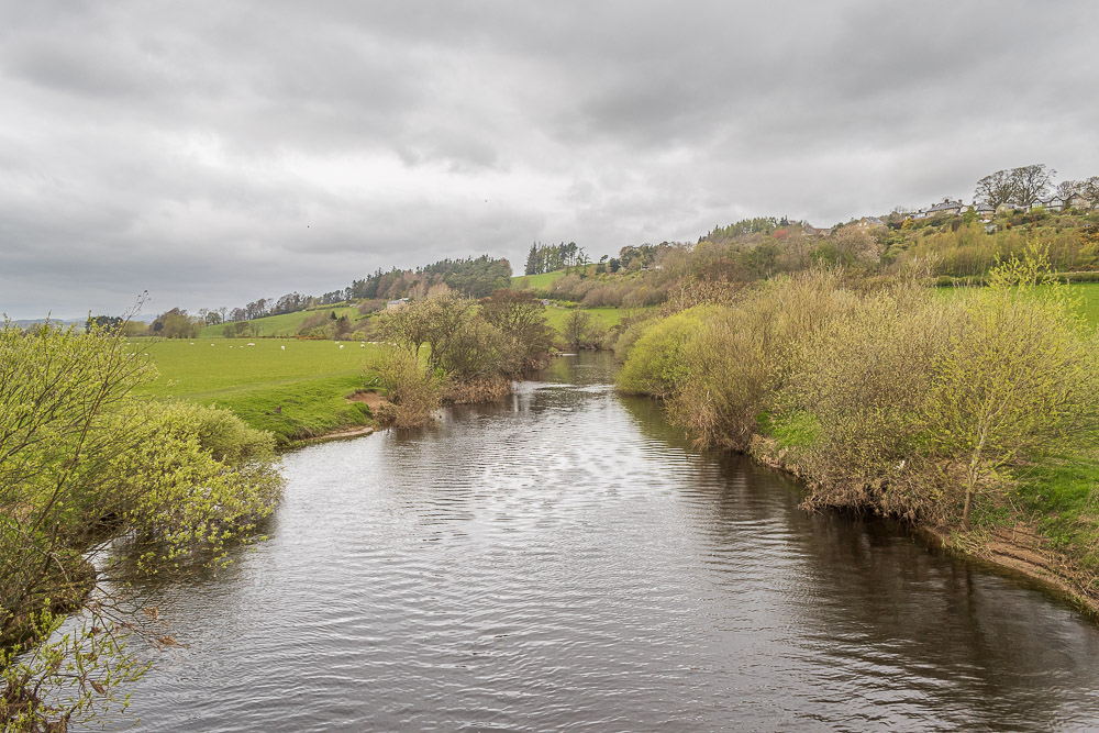
We soon find ourselves crossing the River Coquet.

Once we have crossed the river we find ourselves walking on a engineered track, which doesn't actually go that close to the river.
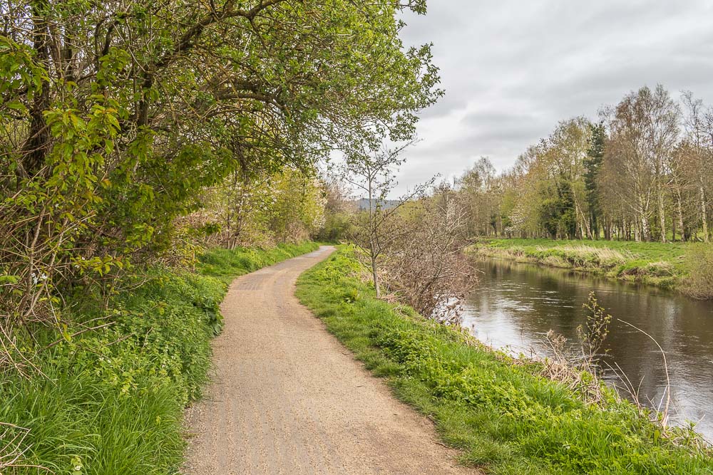
By the time we are actually walking next to the river we are almost back in Rothbury. Seeing as we are on holiday time to go for a pint and maybe book a table for a meal out later in the week before we head back up the hill to the cottage.
All pictures copyright © Peak Walker 2006-2024